UN
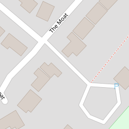
12 The Moat
£ 295,000
Description
We don't have a Description for this property.
- Bedrooms
- 3
- Bathrooms
- 0

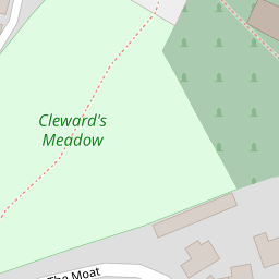
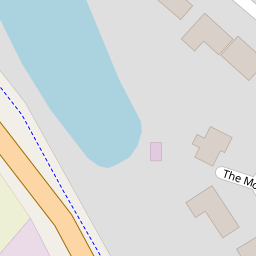
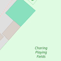

Leaflet © OpenStreetMap contributors
The heatmap indicates the level of crime in the area. The color of the heatmap indicates the crime severity and recency.
Metrics Year-on-Year
- Average area value
- 278,019.00 £Increased by 21.15 %
- Average area rental value
- 919.00 £/moDecreased by 8.01 %
- Est rental Yield
- 3.97 %Decreased by 23.95 %
- Crime Rate
- 25.00 %Unchanged by 0.00 %
from 229,480.00 £
from 999.00 £/mo
from 5.22 %
from 25.00 %
Nearby Schools
| Name | Type | Ofsted | Distance |
|---|---|---|---|
| Charing Church Of England Primary School | Academy Converter | 0.48 KM | |
| Heath Farm School | Other Independent Special School | Good | 4.34 KM |
| Bluebells Children'S Centre | Children's Centre | 4.68 KM | |
| Pluckley Church Of England Primary School | Academy Converter | Good | 6.05 KM |
| Goldwyn School | Foundation Special School | Outstanding | 6.40 KM |
Images
Nearby Streets
| Name | Average Price | Average Sqft | Distance |
|---|---|---|---|
| Alderbed Close | £ 650,000 | 0 | 0.00 KM |
| The Hill | £ 975,000 | 0 | 0.00 KM |
| Blackberry Lane | £ 465,000 | 0 | 0.00 KM |
| Leacon Lane | £ 725,000 | 0 | 0.00 KM |
| Westwell Lane | £ 0 | 0 | 0.00 KM |
Nearby Transport
| Name | NLC | TLC | Distance |
|---|---|---|---|
| Charing (Kent) | 5097 | CHG | 0.69 KM |
| Pluckley | 5225 | PLC | 7.96 KM |
Nearby Listings
| Address | Price | Type | Score | Distance |
|---|---|---|---|---|
| The Moat, Charing, TN27 | £ 525,000 | BUY | 6 / 10 | 0.07 KM |
| Charing, Kent, TN27 | £ 975,000 | BUY | 6 / 10 | 0.21 KM |
| Central Charing | £ 460,000 | BUY | 6 / 10 | 0.24 KM |
| Market Place, Charing, TN27 | £ 750,000 | BUY | 6 / 10 | 0.26 KM |
| Ashford Road, Charing, Ashford, TN27 | £ 650,000 | BUY | 7 / 10 | 0.26 KM |
Nearby Properties
| Address | Price | Distance |
|---|---|---|
| 7 The Moat | £ 250,000 | 0.00 KM |
| 25 The Moat | £ 370,000 | 0.00 KM |
| 43 The Moat | £ 444,200 | 0.00 KM |
| 20 The Moat | £ 280,000 | 0.00 KM |
| 31 The Moat | £ 475,000 | 0.00 KM |